- Michael of Rhodes

- Michael's Life

- A Mariner's Knowledge

- Journey Map

- Manuscript Viewer

- Glossary

- About the Michael of Rhodes Project


Navigation
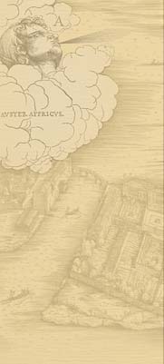
Michael's manuscript contains a considerable amount of material relating to navigation. His text includes several early portolan texts concerning different coasts, as well an explanation of a mathematical approach to navigation known as the marteloio. These tools were part of a system of navigation practiced by mariners who spent most of their time sailing along the coasts of the Mediterranean and the Atlantic. Mastery of the system of navigation was one of the keys to Michael's rise in Venetian service.
Find out more:
For shipping in the medieval Mediterranean, see John Pryor, Geography, Technology, and War: Studies in the Maritime History of the Mediterranean, 649-1571 (New York, 1988). An introduction to portolan charts is Tony Campbell, "Portolan Charts from the Late Thirteenth Century to 1500," in The History of Cartography, ed J.B. Harley and David Woodward (Chicago, 1987), vol. 1, 371-458. The basic reference is still Konrad Kretschmer, Die Italienischen Portolane des Mittelalters: ein Beitrag zur Geschichte der Kartographie und Nautik (Berlin, 1909). For the relationship of mariners to texts, see Piero Falchetta, "Marinai, mercanti, cartografi, pittori. Ricerche sulla cartografia nautical a Venezia (sec. XIV-XV)," Ateneo Veneto 182 (1995), 273-305.